
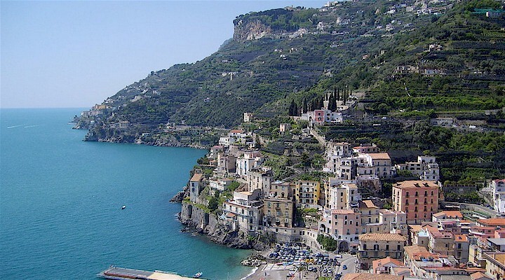
 Amalfi Coast
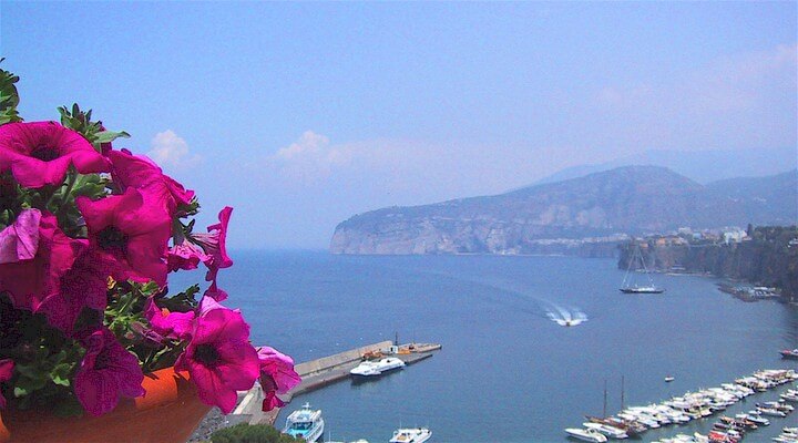 Sorrento Coast
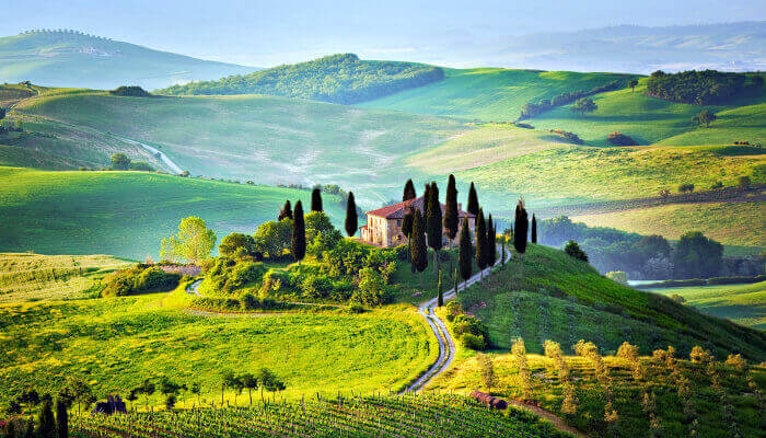 Tuscany
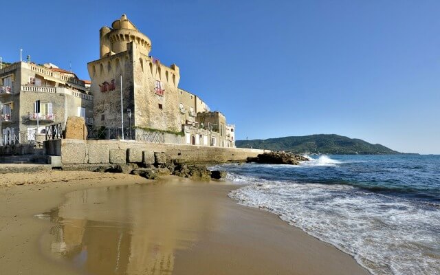 Cilento National Park
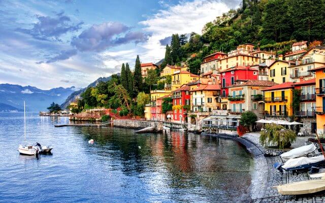 Lake Como
 Rome and Latium
 Umbria
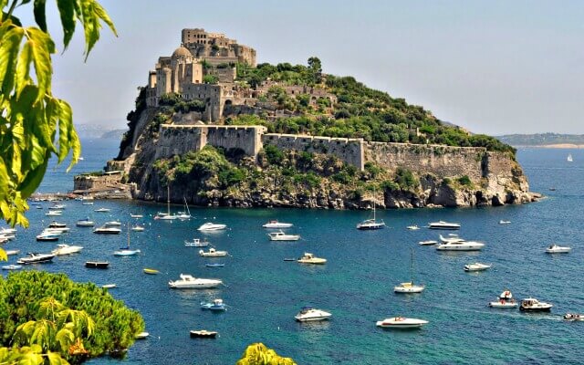 Capri and Ischia
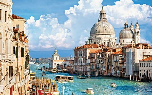 Venice
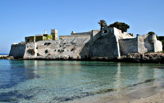 Puglia (Apulia)
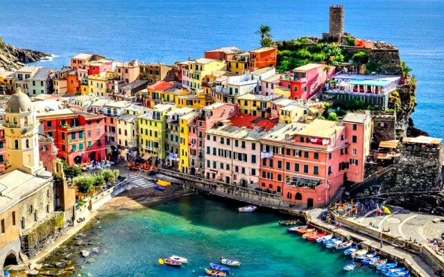 Liguria
 Sicily
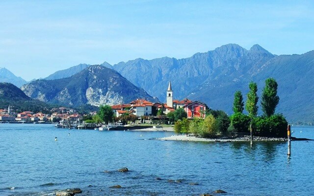 Lake Maggiore
 Lombardy
 Sardinia
 Lake Garda
 Abruzzo and Marche
 Calabria
Athena Trail

A loop trail that takes in the high point of Monte San Costanza and the point of the Sorrentine promontory Punta Campanella. It is panoramic all senses - from the highest hill in the Massa Lubrense territory the views sweep all along the coastline and to Capri, while the promontory tip is the watershed point between the two gulfs and a beautiful, surprisingly wild corner of the Amalfi Coast that few people see.
From Termini to Punta Campanella to San Costanzo. The trail starts in Termini, a frazione of Massa Lubrense. It can be reached by bus or your rental car. The path begins in the piazzetta, walk along Via Campanella. After about 400 meters at a fork, go to the right and the ancient Via Minerva, a Greco-Roman road built in the 4th century BC that still bears some of the ancient paving stones.The vegetation lessens and you'll see Capri come into view ahead. The path gets steeper and a tract is asphalted. Then you'll see the tower and lighthouse of Punta Campanella. Archeology remains here indicated there had once been a temple. Here, Capri is so close it looks like you could almost reach and touch it!
Start ascending towards Monte San Costanzo following the red and white trail markings of the CAI (Italian Alpine Club) which indicates the Alta Via dei Monti Lattari. There are two peaks -one holds radio antennas while the other, the chapel dedicated to San Costanzo. At the summit is a 360 degree view across the Gulf of Naples, the Gulf of Salerno and the entire coastline, as well as Mt. Vesuvius, Capri, Ischia and Procida islands.
To return to the Termini, the old path intersects with the road, and you can either go down the steps of the mule path or follow the asphalt road.
The trail is a 7 kilometer loop with a 600 meter elevation change.
Address in Massa Lubrense:
Piazza Santa Croce, Termini.
Rent a holiday house in Massa Lubrense and travel like a local.