
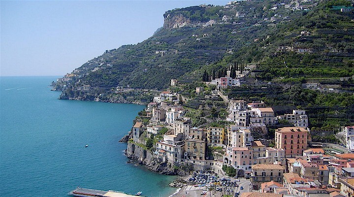
 Amalfi Coast
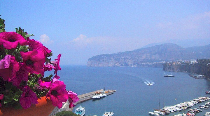 Sorrento Coast
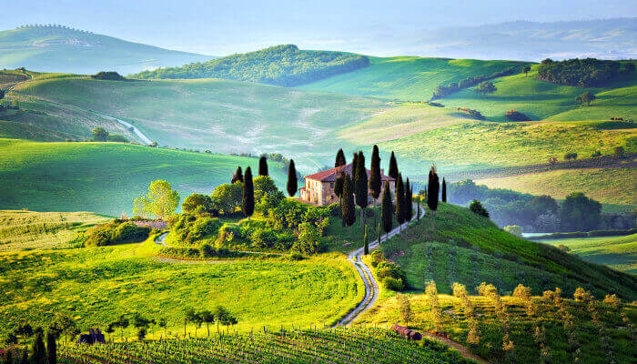 Tuscany
 Cilento National Park
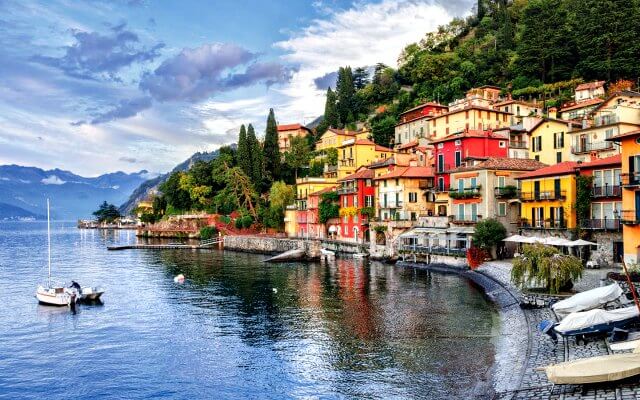 Lake Como
 Rome and Latium
 Umbria
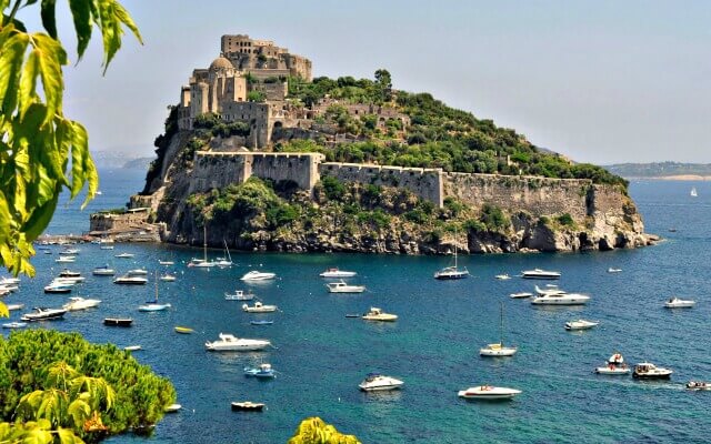 Capri and Ischia
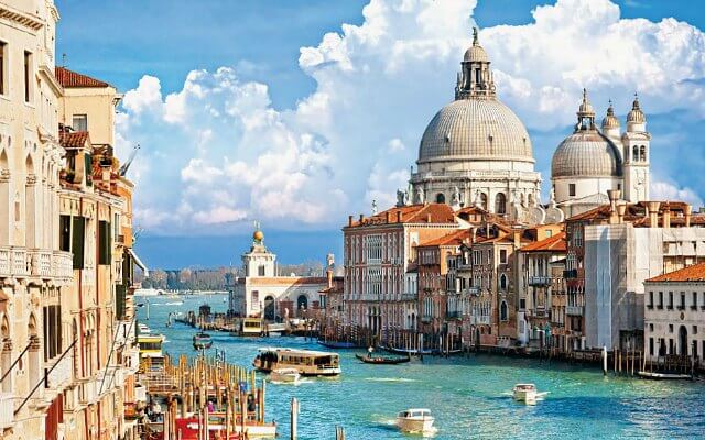 Venice
 Puglia (Apulia)
 Liguria
 Sicily
 Lake Maggiore
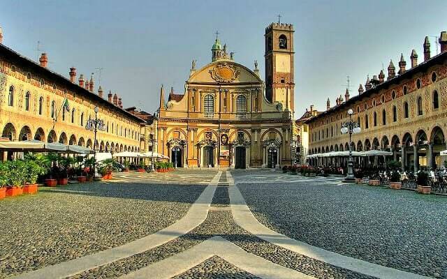 Lombardy
 Sardinia
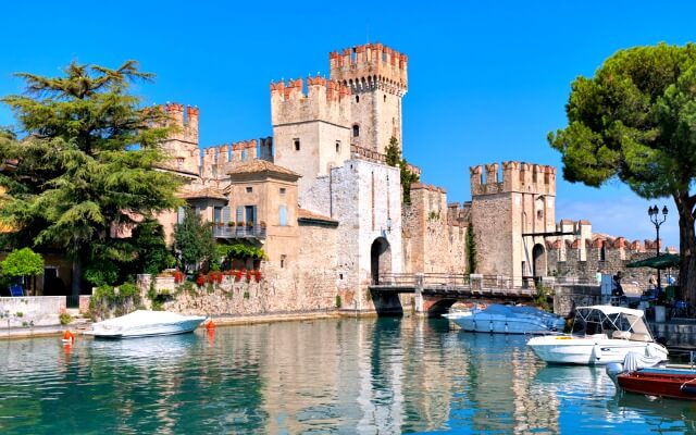 Lake Garda
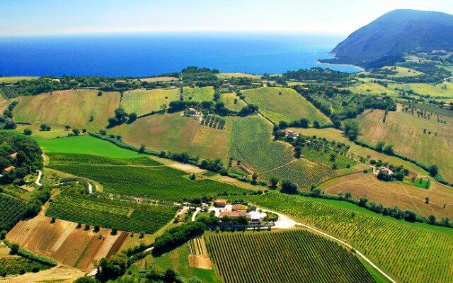 Abruzzo and Marche
 Calabria
Castelmezzano

Castelmezzano looks like a fairytale town, cradled in the crags and spires of the Dolomiti Lucane mountains, almost like an apparition. It seems to just grow spontaneous from the rock and curves around the natural fold of the landscape, with muted colored and exposed stone of the houses. It is one of the Borghi Piu' Belli d'Italia (most beautiful villages in Italy) and many liken it to a life-sized Nativity Scene. Just this description should make you want to visit! However, the natural beauty, hiking trails, outdoors adventures, history and charm are additional draws.
Named as "the castle in the middle" between those of Brindisi di Montagna and Pietrapertosa (visible across the deep gorge), it dates to the Norman period. While only ruins remain of the castle, it was an important town with strong defense in its mountain aerie between the Tirreno and Adriatic and Ionian Seas. Its Norman history also gives it ties to the Knights Templar and there are antique symbols around town, especially in and around the church, of their presence. In fact, the town crest has a Templar symbol of two knights riding on a horse. Across the gorge, Pietrapertosa had Arab roots and both looked suspiciously at each other for centuries. Only in the past century have they made peace and created a road between the towns (now, unfortunately impassable) but they made up for that by installing the Volo dell'Angelo, a wildly popular zip line that flies between the two towns (and back again, it is a round-trip deal!) They also have a foot path called the Sette Pietre Trail to walk between the two towns. Both are beautiful and different yet similar in their ambiance, though Pietrapertosa has an old Arab quarter and can claim to be the highest town in the Basilicata region.
Attractions in Castelmezzano include the church, which you'll find in the main piazza, Santa Maria dell'Olmo, beautiful in its simplicity and with Norman and Templar symbols. In front is the piazza with the Terrazza Panoramica overlooking the curved town and the valley below, with the spired peaks above. Beautiful!
Walk along the main road and you'll see the neighborhood forni (bread baking ovens) still in evidence, once used as communal ovens where the women would make their loaves and bring them to the baker to cook, stamping them with a unique bread stamp (timbro di pane) to know which ones to retrieve at the end of the day. Follow the street to the end then climb up, up, up to the ruins of the castle and the magnificent overlooks - on one side on a clear day you can see the Ionian Sea (if not, count the number of hill towns heading down the Basento Valley you see.) The other side looks over town and the mountains. Gorgeous. Another peculiarity here is how they name the "streets" which are basically stair-stepped lanes between houses and rocks. Uphill are called scalinata while the lower ones are called supportico, and often duck beneath homes or buildings.
The Volo dell'Angelo - a high-flying zip line that travels between Castelmezzano and Pietrapertosa at up to 120 km an hour high above the deep gorge (and back again!)
The Via Ferrata - for serious climbers, the via ferrata will be a challenge of hand- and foot-holds, wire walks, a Tibetan bridge and more.
The newest attraction opened in 2025 - la Slittovia, or mountain coaster, and it has proven to be a major draw and a great thrill, especially for those who are afraid of heights and don't want to do the zip line.
There are several good restaurants here, so come for a special lunch or dinner to taste the area's specialties, as Basilicata has some ancient recipes that date back to Roman times and are still in use and delicious!
Explore handpicked holiday lettings in Basilicata.
Explore nearby towns

It may be small, but Trivigno is a pretty hill town strategically situated in the heart of Basilicata.

The lovely town of Padula is a placid place now but was once part of the most powerful feudal estates of the Kingdom of Naples.

The village of Teggiano is situated 2,090 feet above sea-level, on an isolated peak above the upper part of the valley of the Negro river (the ancient Tanager), in the Cilento National Park.